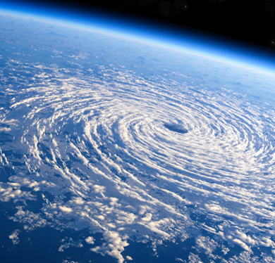
Environmental monitoring
from spaceDiscover Latest news on the
TropiSCO projectDiscoverLatest news on
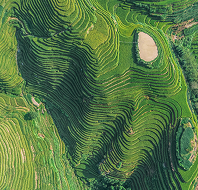
rice crop mapping
Platforms
DiscoverMaps of forest loss derived every week from Sentinel-1DiscoverImpacts of climate change on rice cultivation in the Mekong DeltaDiscoverMaps of rice fields in Southeast Asia from Sentinel-1